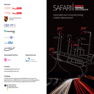
https://www.testfeld-berlin.de/
Flyer: https://www.testfeld-berlin.de/pdfs/SafariDTS-Falzflyer-Wickelfalz-v14-EN.pdf
Extracts from Flyer:
Objective
In the research project SAFARI, the Land of Berlin together with partners examines the exchange and updating of digital HD maps as a prerequisite for automated and connected driving. In the district Reinickendorf, using highly accurate HD maps, modern infrastructure and a high level of connectivity, three fundamental technologies are being developed and tested: sensory environmental awareness and localization, communicating road infrastructure, and self-updating HD maps.
Digital traffic management
Highly accurate HD maps are a prerequisite for digitalization of mobility. For the Senate administration for environment, traffic and climate protection these are already an indispensable working basis. Likewise, for years the Berlin universities, research institutions, and companies are researching the fundamentals for automated and connected driving. An important basis for the view and circumspection of the vehicles in traffic is the updating of the maps in real-time. These are not the only overlaps between a modern city and highly automated vehicles. The connectivity between infrastructure and the connected vehicles offers many opportunities for an efficient and safe regulation of traffic.
What do the vehicles see?
SAFARI uses not only research vehicles but also vehicles retro-fitted with low cost sensor technology and tests the use of smartphones for cost-effective data collection. In the research vehicles, special LIDAR-sensors are integrated, which use laser beams to accurately scan the road and its surroundings. The huge amounts of data acquired thereby can be processed and sent to the cloud without delay thanks to modern low-latency communication technology. As privacy is a major concern, the data is anonymized such that no individual movement profiles can be derived.
Updating maps
On the basis of the data collected, changes in the road space and driving trajectories of the vehicles have to be recorded, processed and stored in dynamic maps in order to be able to play them back to other vehicles. This constant feedback enables a continuous self-updating of the map content. Information
such as free parking slots at the side of the road or the checking of a recently established construction site is generated nearly incidentally.
Recognize traffic lights/
understand the surroundings Based on highly accurate HD maps, the vehicles are able to localize themselves on the road down to centimeters. Classical GNSS-based systems alone have a positioning error of over 10 meters after driving under bridges or urban canyons. Thereby the car would stop on the crossing and not at the traffic light. SAFARI brings together map information – “there should be a
traffic light here” – with connected road infrastructure – “traffic light will switch to green in 7s” – and vehicle sensors and thereby enables a safe and comfortable automated drive totally without hectic braking maneuvers.
Download Presentation: