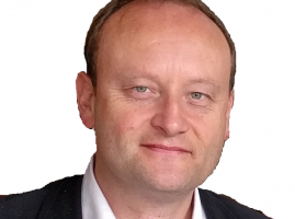
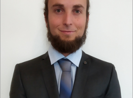
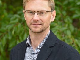
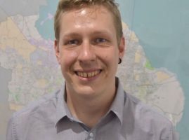
Prof. Dr. Roland Wagner
President of the Association for Geoinformatics, GeoIT and Navigation e.V.
Prof. Dr. Martin Kada
After his diploma in computer science, Martin Kada worked as an academic staff member in the GIS group of the Institute for Photogrammetry at the University of Stuttgart. There he received his doctoral degree in engineering on the topic of multi-scale generation of 3D city models. Three years later he was appointed junior professor for geoinformatics at the University of Osnabrück. Since 2015 he holds a full professorship at Technische Universität Berlin and is head of the chair “Methods of Geoinformation Science”. His research interests include 3D urban environments, particularly their automatic generation from 3D point clouds and their (real-time) visualization.
Markus Müller
Director Professional Services VertiGIS Europe,
Prokurist und Mitglied der Geschäftsführung AED-SICAD
Jesse Hinrichsen
civity Management Consultants
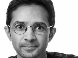
Shoaib Burq
Geografia Pty Ltd
Shoaib Burq is CTO at Geografia Pty Ltd. Geografia is a consultancy that works in the domain of Spatial Economics. It has clients across all levels of the Australian Government. Before Geografia Shoaib co-founded SpacialDB a Cloud Based Geospatial Database as a Service and BringBee a crowdsourced delivery service. He also advises startups and helps them develop their tech and business strategy. When he’s not coding or drawing up geospatial architectures you will find him playing the Sarod (an Indian classical instrument), or taking a walk with his girlfriend and his sweet little dog on the streets of Berlin.

Chris Stelzmüller
CTO | triply GmbH
Markus Gräser
German Autolabs
Job: Sr. Software Engineer
Company: German Autolabs: https://www.linkedin.com/company/german-autolabs
Luca Ricci
Berliner Senatsverwaltung für Umwelt Verkehr und Klimaschutz

Oliver Strop
Strop Consulting und Projektmanagement
Albrecht Michler
Albrecht Michler
Technische Universität Dresden
„Friedrich List“ Faculty of Transport and Traffic Sciences
Institute of Traffic Telematics
Chair of Transport Systems Information Technology
01062 Dresden
William Jones
Orbica UG
Peter Rose
Europe Director
Orbica UG
- Linkedin: https://www.linkedin.com/company/orbica-ltd/
- Facebook: https://www.facebook.com/OrbicaGIS/
- Twitter: https://twitter.com/OrbicaGIS
- Instagram: https://www.instagram.com/orbicagis/
Dr. Robert Schönduwe
Outdoor Session with Chair
Stuart Krause
Stuart Krause is a researcher in UAV Remote Sensing for intensive forest monitoring at the Thünen Institute of Forest Ecosystems. He is also a lecturer in GIS and Remote Sensing at the Eberswalde University for Sustainable Management (HNEE).
Hochschule für nachhaltige Entwicklung Eberswalde
Felix Delattre
– Institution: Humanitarian OpenStreetMap Team
Technical Project Manager – Felix Delattre is an information technologist, software architect and development project manager with a passion for geographic information science. His focus is on innovation through participation, open data and free technologies.
